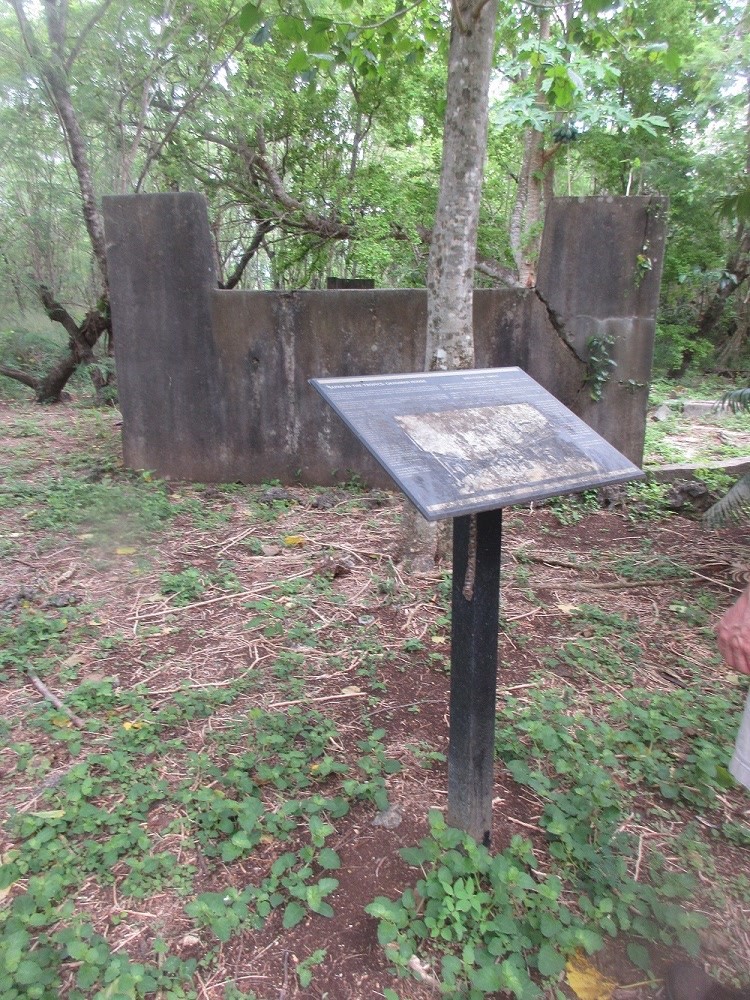
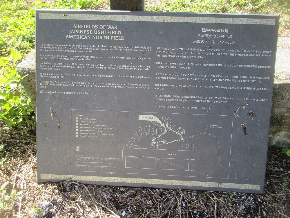
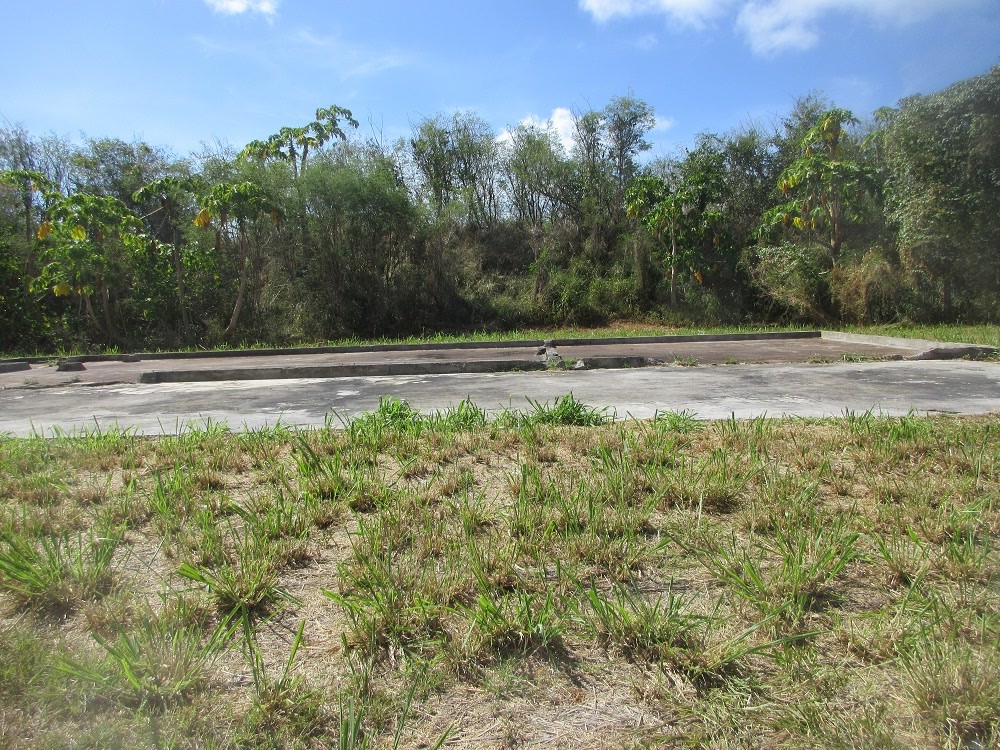
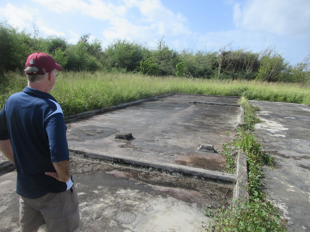
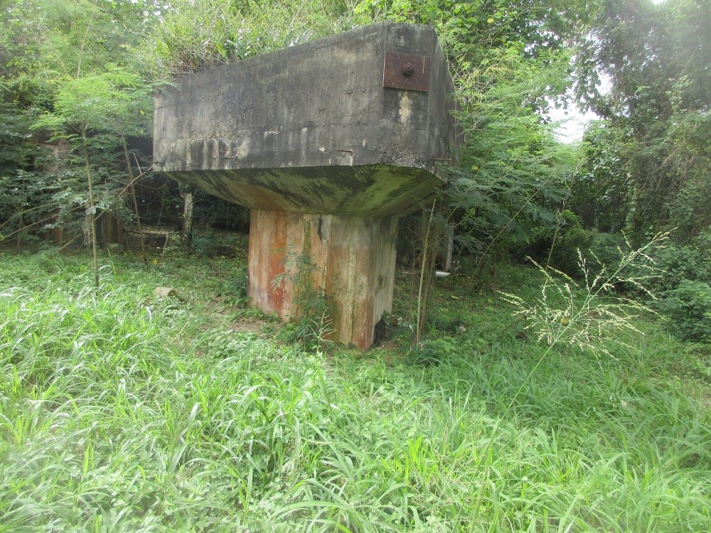
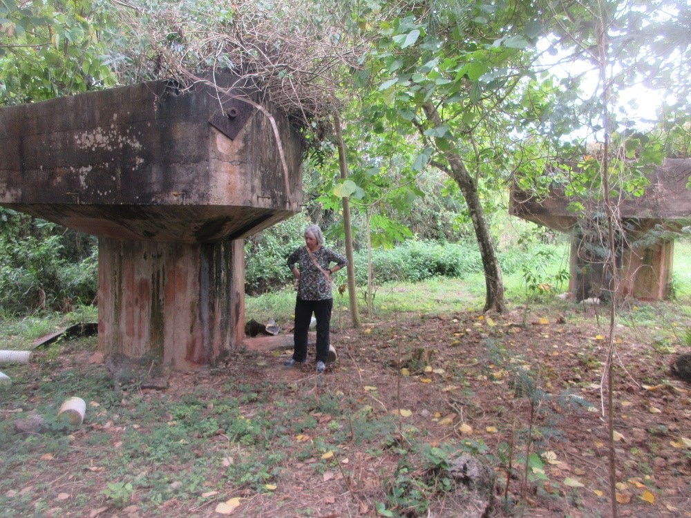
 BOMB PITS #1 and #2
(25 of 60)
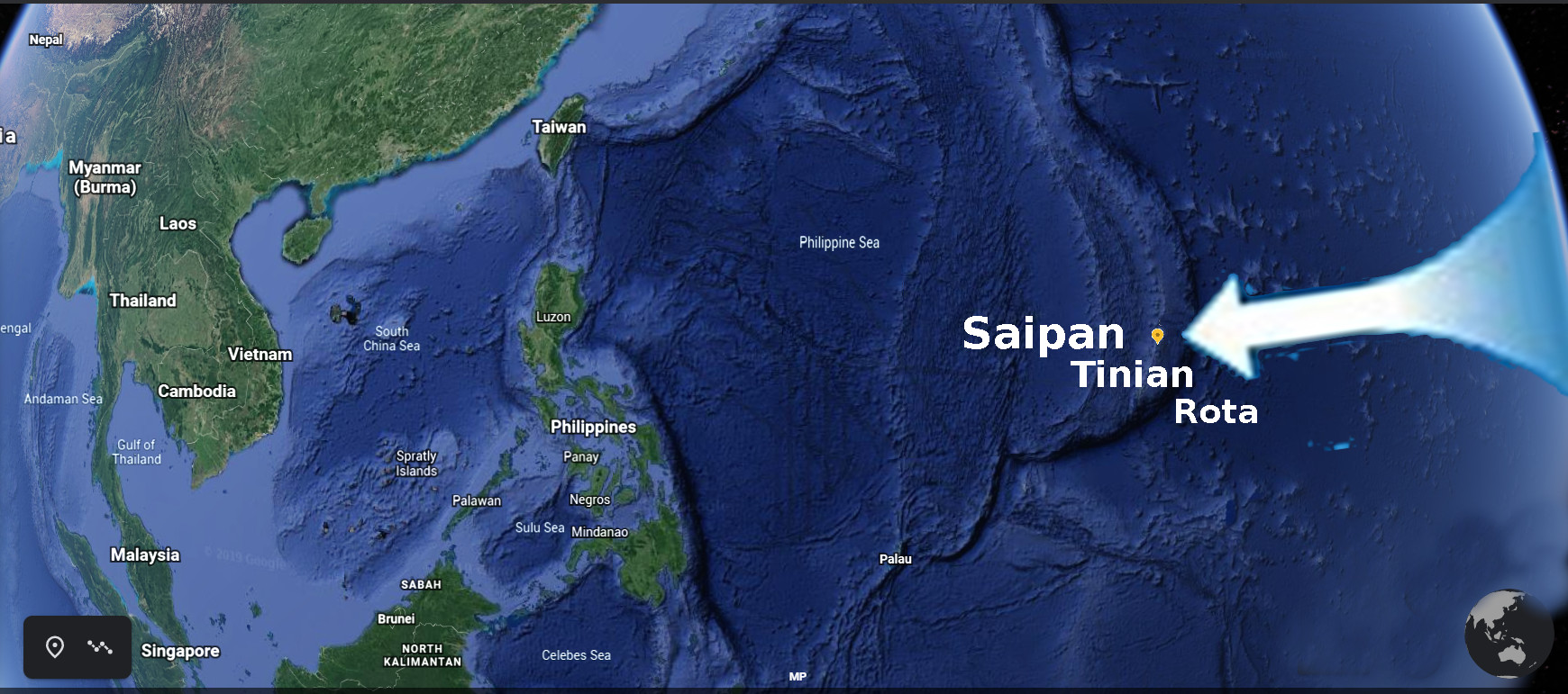
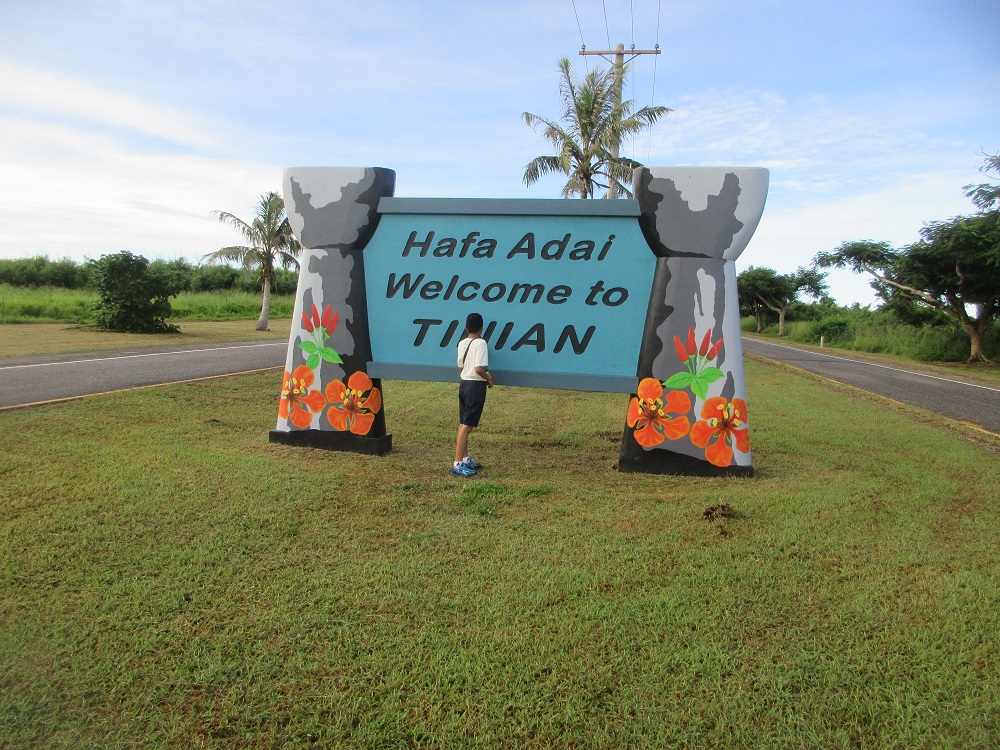
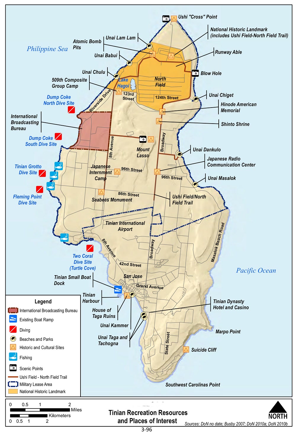
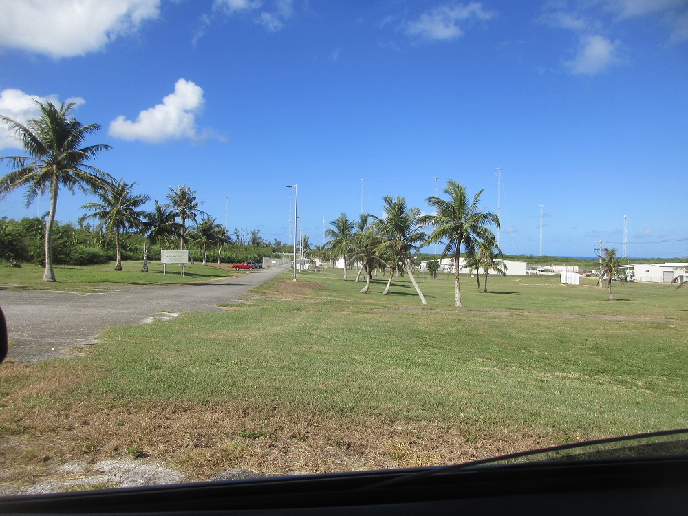
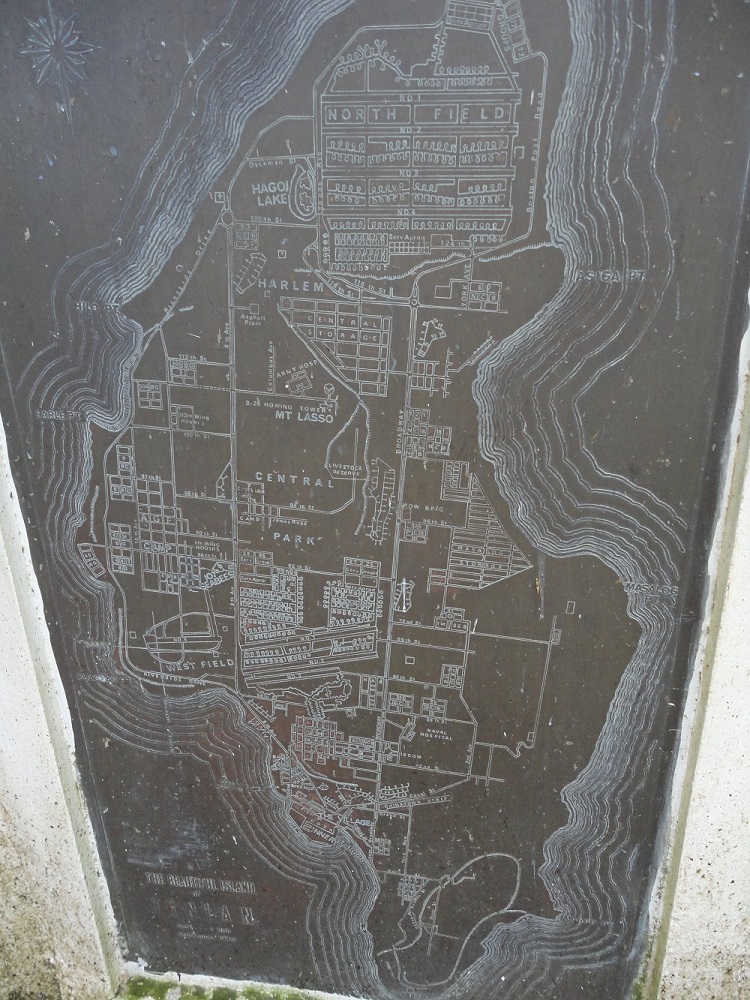
Location: Military Lease Area
GPS:15°5'1.00",145°38'4.00"
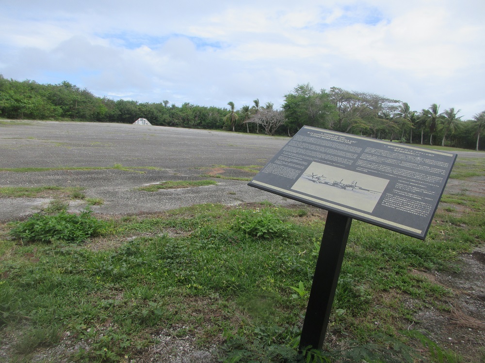
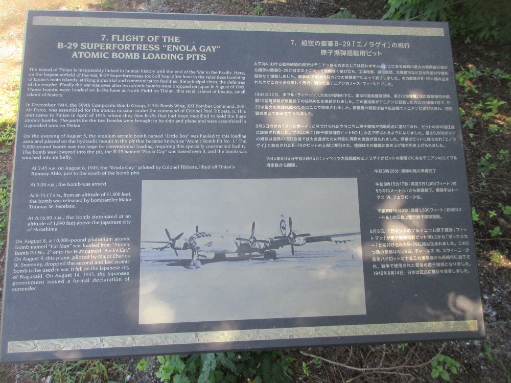
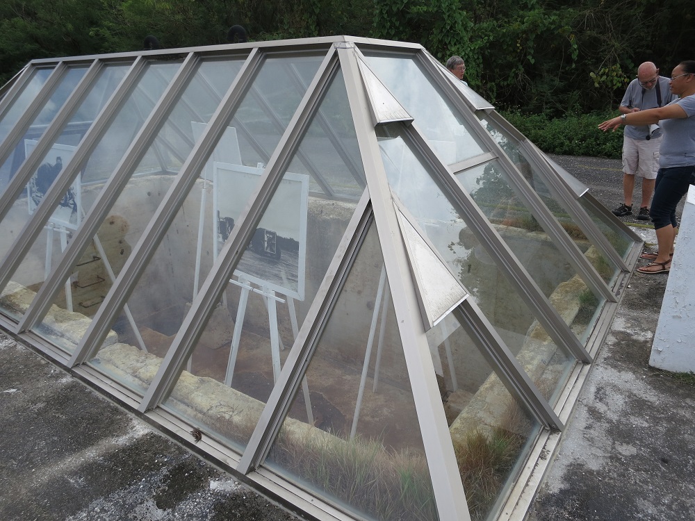
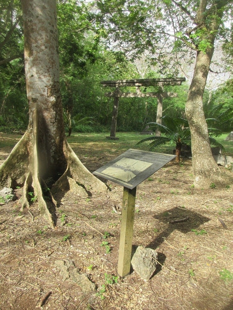
Flight of the B-29 Superfortress "Enola Gay" Atomic Bomb Loading Pits
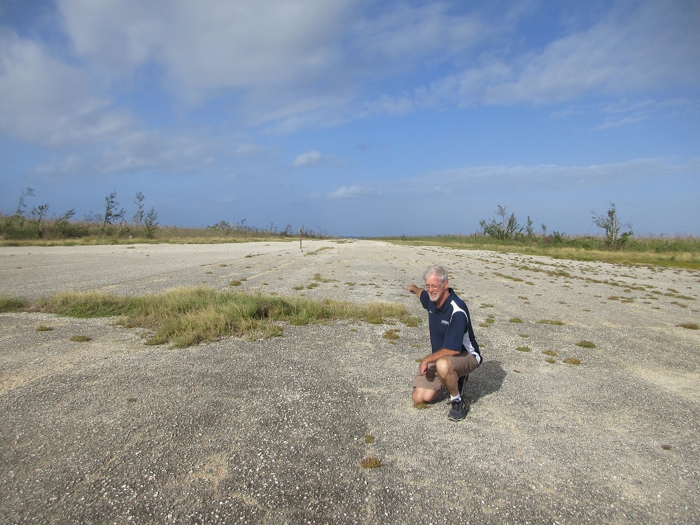
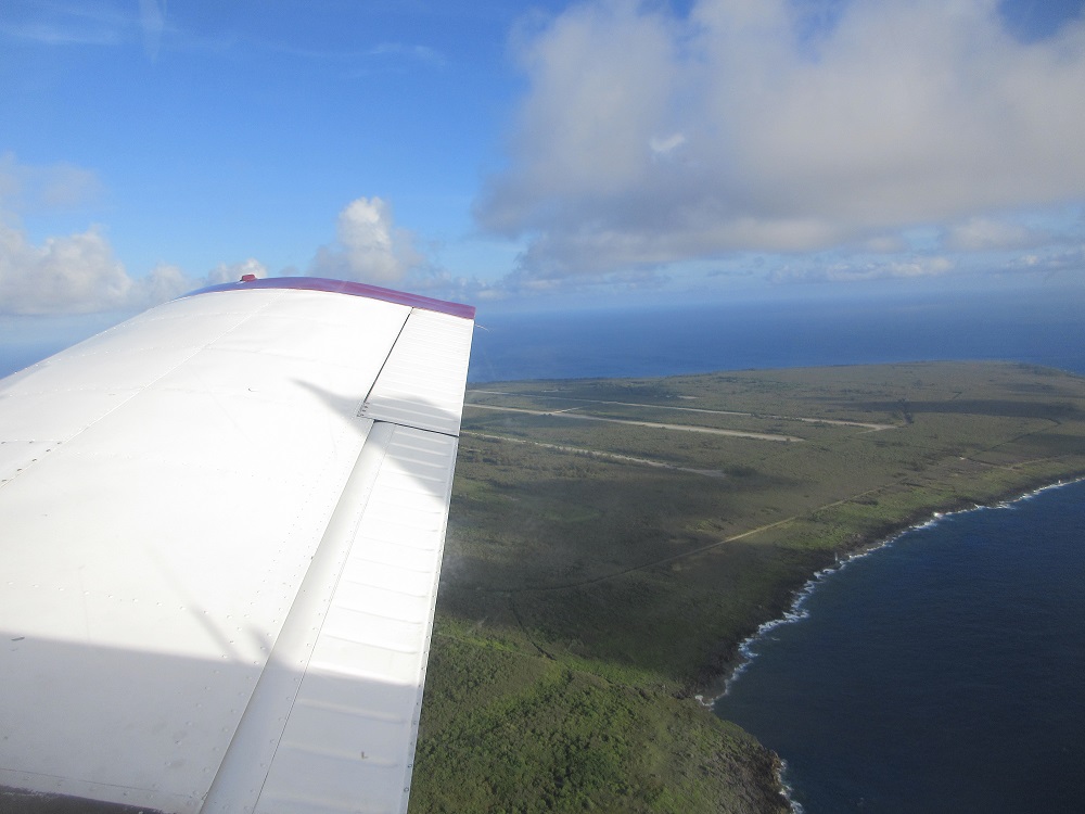
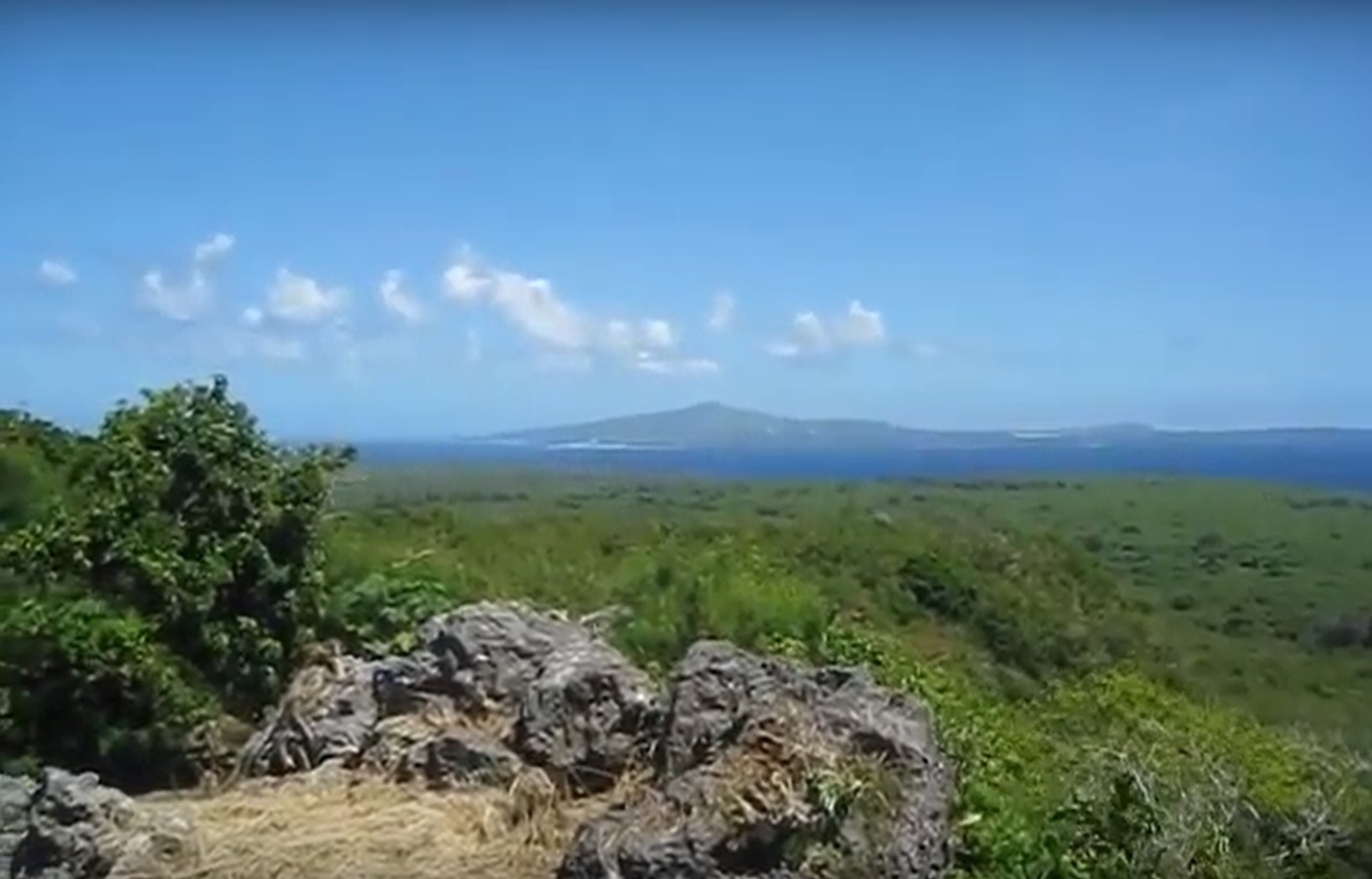
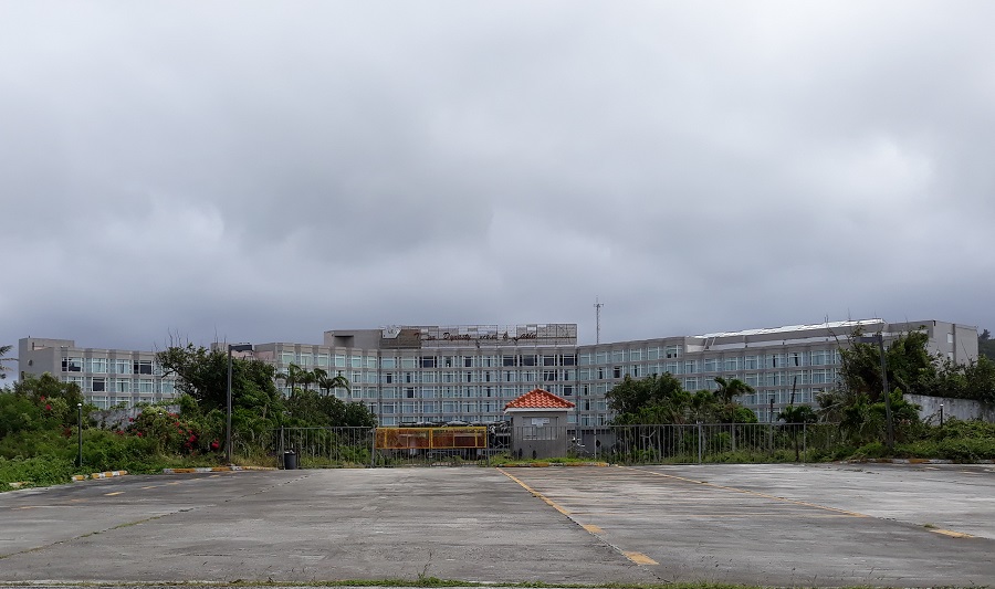
The island of Tinian is inseparably linked in human history with the end of the War in the Pacific. Here, on the largest airfield of the war, B-29 Superfortresses took off hour after hour in the relentless bombing of Japan's main islands, striking industrial and communication facilities, the principal cities, the defenses of the empire. Finally, the war was over after two atomic bombs were dropped on Japan in August of 1945. Those bombs were loaded on B-29s here at North Field on Tinian, this small island of beauty, small island of history.
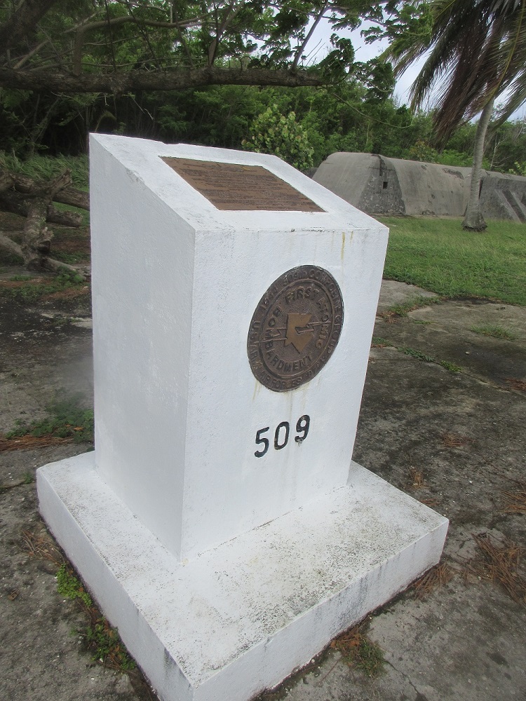
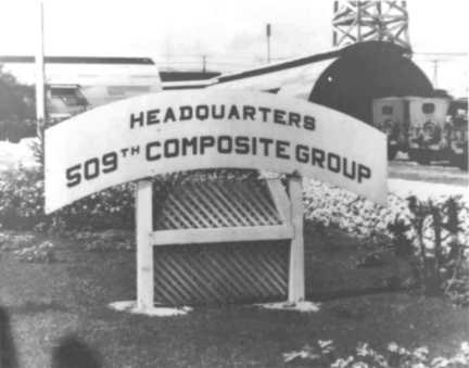
In December 1944, the 509th Composite Bomb Group, 313th Bomb Wing, XXI Bomber Command, 20th Air Force, was assembled for the atomic mission under the command of Colonel Paul Tibbets, Jr. This unit came to Tinian in April of 1945, where they flew B-29s that had been modified to hold the huge atomic bombs. The parts for the two bombs were brought in by ship and plane and were assembled in a guarded area on Tinian.
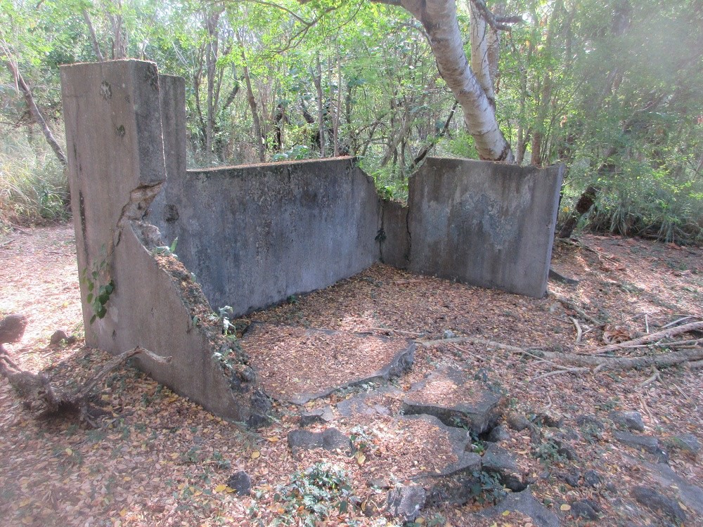
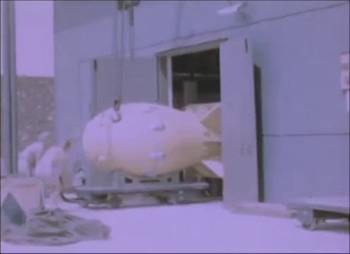
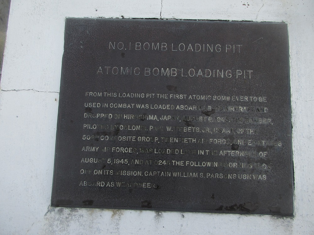
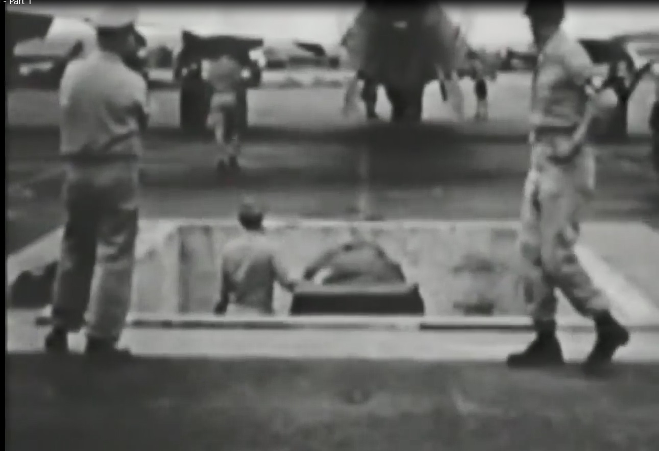
On the evening of Augut 5, 1945, the uranium bomb named "Little Boy" was hauled into this loading area and placed on the hydraulic mount in the pit that became known as "Atomic Bomb Pit No. 1." The 9,000-pound bomb was too large for conventional loading, requiring this specially constructed facility. The bomb was lowered into the pit, the B-29 named "Enola Gay" was towed over it, and the bomb was winched into its belly.
At 2:45 A.M. on August 6, 1945, the "Enola Gay," piloted by Colonel Tibbets, lifted off Tinian's Runway Able, just to the south of the bomb pits.
At 3:20A.M., the bomb was armed.
At 8:15:17 A.M. (Japan time), from an altitude of 31,000 feet, the bomb was released by bombardier Major Thomas W. Ferebee.
At 8:16:00 A.M., the bomb detonated at an altitude of 1,890 feet above the Japanese city of Hiroshima.
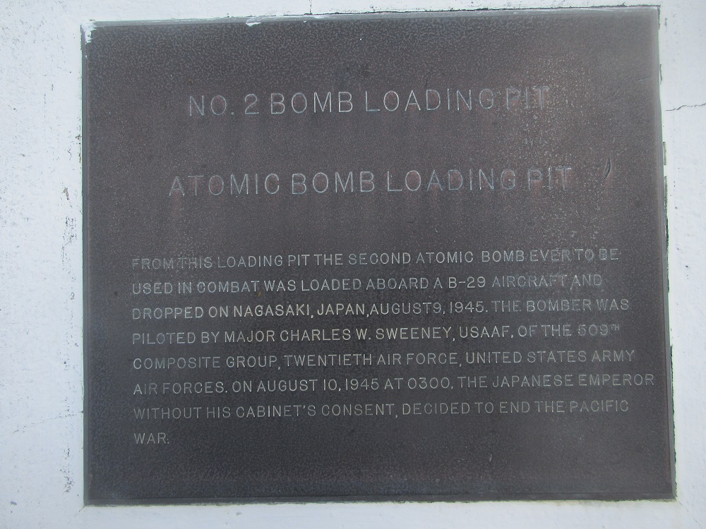
On August 8, a 10,000-pound plutonium atomic bomb named "Fat Man" was loaded from "Atomic Bomb Pit No. 2" onto the B-29 named "Bock's Car." On August 9, this playn, piloted by Major Charles W. Sweeney, dropped the second and lat atomic bomb to be used in war. It fell on the Japanese city of Nagasaki. On August 14, 1945, the Japanese government issued a formal declaration of surrender.