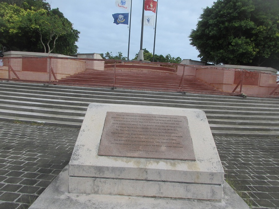
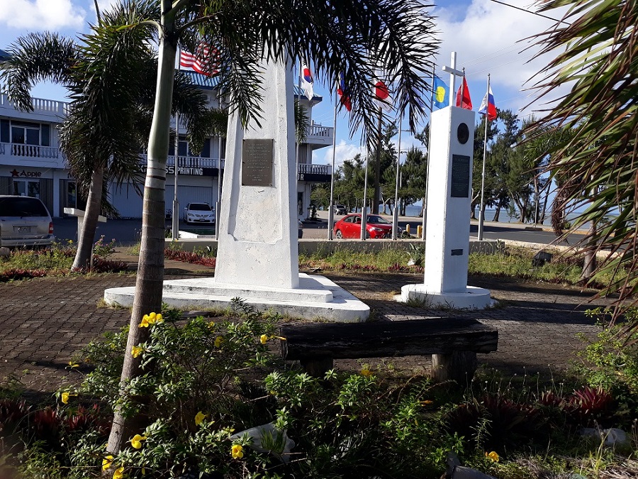
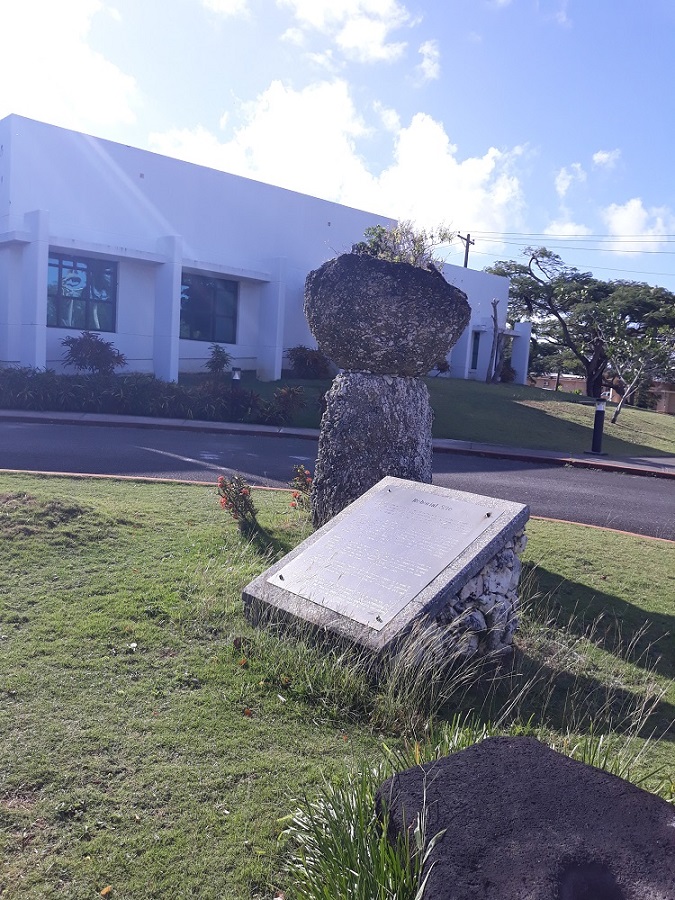
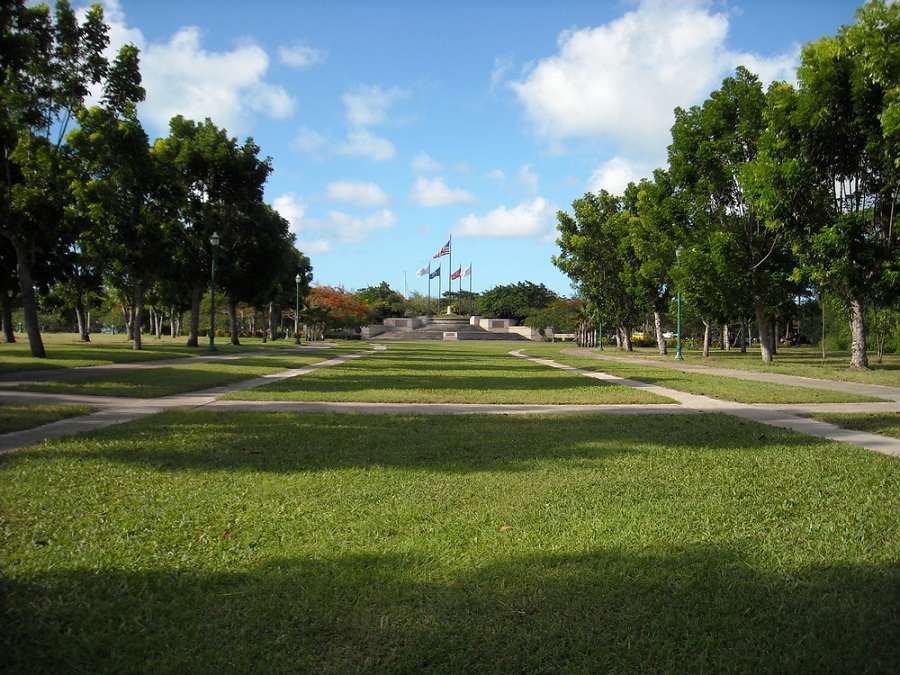
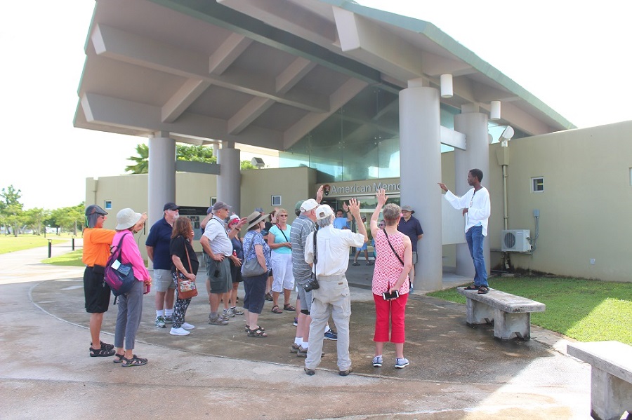
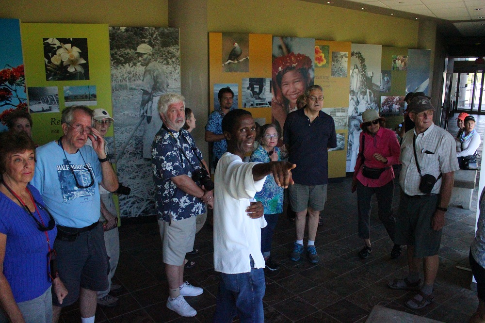
 Court of Honor
(3 of 123)
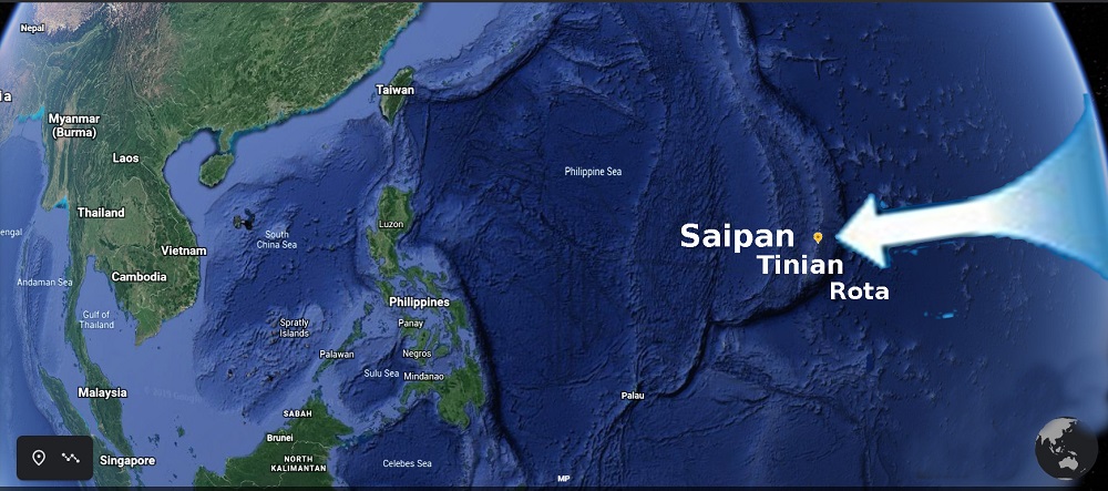
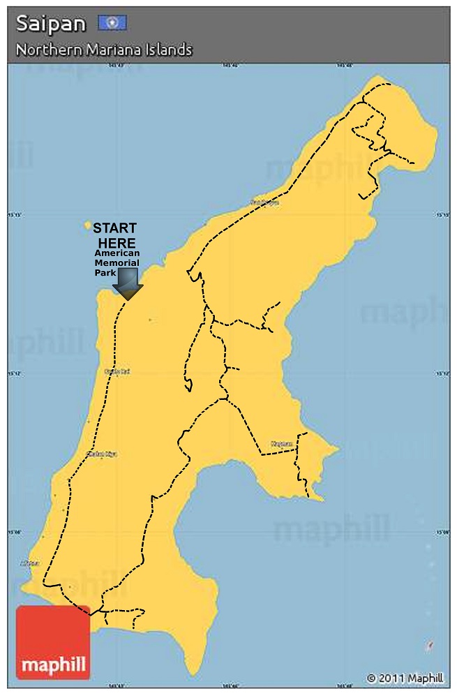
Village: Garapan
GPS:15°12'59.00",145°43'18.00"
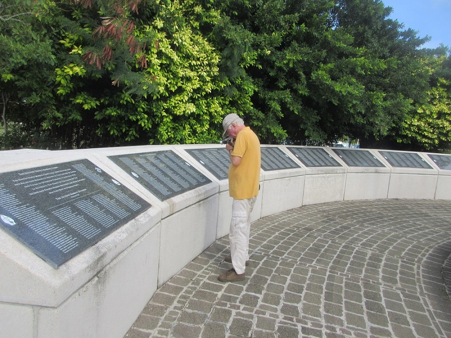
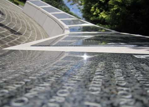
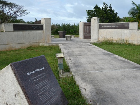
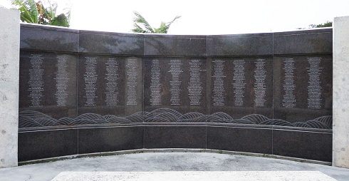
26 Granite Panels inscribed with 5,204 names of service personnel who perished in the Marianas Campaign during World War II Plaque One (left):
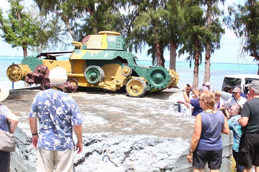
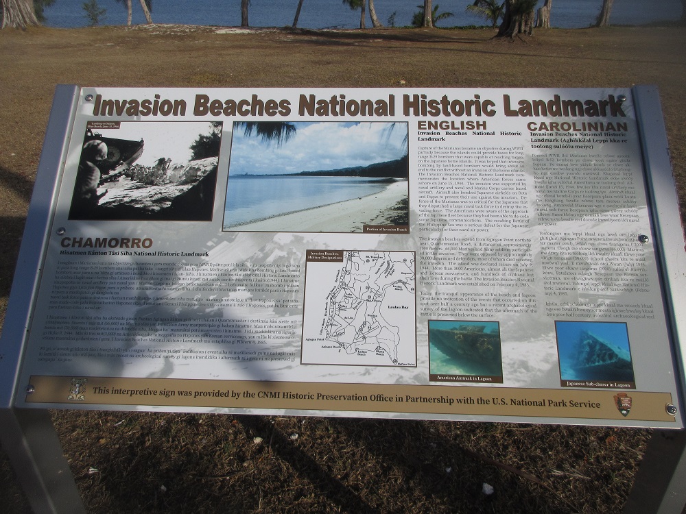
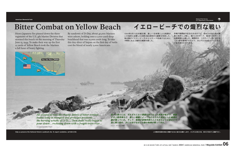
The Battles For Saipan and Tinian
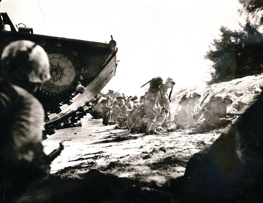
"Land the Landing Force" "On the morning of June 15, 1944, under cover of air and naval bombardment the United States Fifth Fleet, the Second and Fourth Marine Divisions of the Amphibious Corps landed on the beaches of Saipan in the face of heavy Japanese resistance. The US Army's 27th Infantry Division came ashore on D-Day Plus Two. After 24 days and nights of close and deadly ground combat supported by air and naval actio, Saipan was declared secure on July 9, 1944 by Lieutenant General Holland M. Smith, USMC. The invasion of Tinian follwed.
Tinian fell to the Second and Fourth Marines on August 2, 1944. Operation Forager in the Northern Marinas was over. The Japanese inner defense perimeter had been penetrated for the first time. Victory and the libertation[sic] of Saipan and Tinian came at a heavy price. United States casualties totaled 18,893. Of this number, 5050 American marines, soldiers, sailors and airmen were killed or missing in action.
Order given at 0542 15 June 1944 by Vice Admiral Richmond K. Turner, USN, Commander Joint U.S. Expeditionary Forces.
Plaque Two (right):
The Battle of the Philippine Sea
"Turn on the Lights" In immediate response to the American invasion of Saipan on June 15, 1944, the Imperial Japanese Fleet raced to the Marianas to bring relief to the embattled defenderrs of Saipan, Tinian and Guam, and to find and destroy the American Fifth Fleet under the comand of Vice Admiral Raymond A. Spruance. The fate of the American forces ashore and the outcome of the battle for the Marianas was in the balance on June 19 and 20. In decisive naval engagement in the waters to the west of Saipan, the Japanese fleet of carriers, battleships and supporting combat ships was defeated. The epic Battle of the Philippine Sea, the last great carrier battle of the Pacific was was over. Japanese naval air power was largely destroyed and never recovered. As the Imperial Fleet withdrew twoard the inland Sea of Japan, the American invasion of Saipan continued without threat of further enemy attack from the Sea.
[Order of Vice Admiral Marc A. Mitscher, Commander, Task Force 58. Enabling naval aviators returning from an attack on the Japanese fleet to find their carriers in the dark, June 20, 1944.]
Categories:
World War II,
Memorial
 then return to the app and click the "next" arrow below for our next suggestion!