About the DiscoverSaipan App!
Why I Created This App ("Walt's Waysides Project")
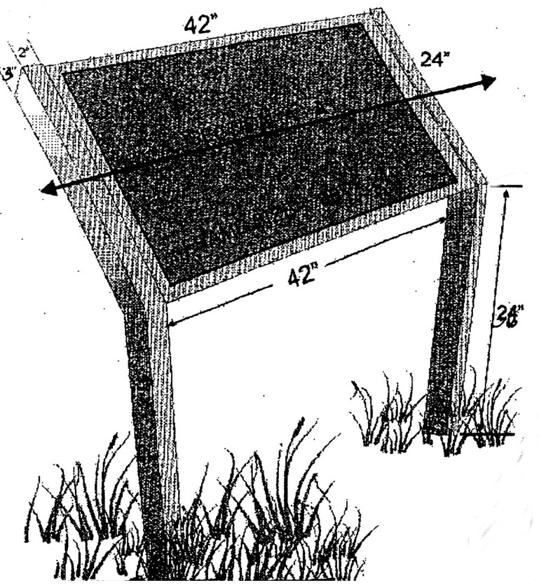
 "Waysides" are the informational signs you often find near historic places, culturally-significant sites, monuments, memorials, nature/wildlife conservation areas and scenic spots. They tell an important story and preserve the history and culture of a destination for visitors as well as residents.
Sometimes, however, due to typhoons or simply normal wear and tear, have disappeared. This app offers a permanent record of those signs to future visitors to the islands. (Text in quotation marks have been transcribed from the adjacent wayside.)
I also created this app to offer visitors to these islands a more comprehensive tour experience than the 3-hour tour experience many people often get. I can't provide my own ALL-DAY "Saipan in a Day," "World War II Pilgrimage," Discover Saipan," "Amelia Earhart History & Mystery" tours to everybody, so this might be the next best thing: a self-guided, GPS-enabled, waysides-assisted tour of Saipan, Tinian and Rota!
But wait! There's more!
The information provided in this app is culled from the "waysides" erected, maintained or funded by the Marianas Visitors Authority (MVA), The Northern Marianas Humanities Council (NMHC), the Historic Preservation Office (HPO) and the National Park Service (NPS). However, there's so much more to discover about Saipan, Tinian and Rota--information these signs can't offer!
For instance, the optimal Tinian tour experience requires use of your imagination to really immerse yourself in the history of the island, what it represents in historical context, and how it has evolved to present day. While the sites and waysides themselves are accessible to anyone, it's the knowledge of the history, the culture, as well as the nuances of contemporary life on ALL of these islands that really brings everything to life. A face-to-face tour by a local human guide can nudge that imagination in the right direction!
GPS Coordinates
The GPS coordinates provided are the precises locations (accurate to within 5 meters) of the information sign, nearest major landmark or the best vantage point for viewing the site. In some cases (Forbidden Island, for instance), the best viewing point is above
the island from the lookout point! --Walt F.J. Goodridge, author of
• The Saipan Living Relocation Guide
• Chicken Feathers & Garlic Skin with Chun Yu Wang
• Drinking Seawater with Riza Oledan-Ramos
• Doing Business on Saipan
• From Bugle Boy to Battleship
• Saipan Now!
• The Amelia Earhart on Saipan Tour Booklet, AND
•There's Something About Saipan: A visitor's guide to fantastic facts, tantalizing trivia, startling statistics, dramatic diaries and hair-raising history from America's most colorful island territory!!
For the best experience, your phone should have installed:
• a default browser Firefox, Chrome, etc.) for GoogleMaps
• an email app (Outlook, Gmail, K-9) to send app feedback
Special Thanks to:
Ferdinand & Riza Ramos, Cassandra Randolph, Christian & Claudia Scherkenbach, Gary Liddle, Ray & Gledsie Stewart